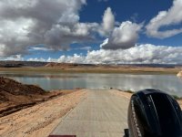
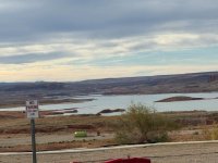
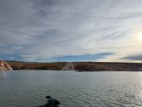
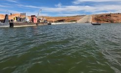
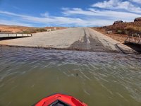
The last time I was at Bullfrog the lake was 100 feet higher, so no first hand knowledge. I can vaguely picture illustrations/maps posted that show current lake access, but not certain about relative locations: main ramp, north ramp, primitive ramp, Stanton and whatever. A quick search didn’t turn up anything for the low levels. I think I’ve seen a recent aerial pic with pointers. Just want to better understand the challenges of our northern Wordlings.